Deliverable
Orthophoto, terrain model, point cloud, inspection imagery or multispectral output each creates a different payload and flight-planning requirement.
 TJWVTOL SOLUTIONS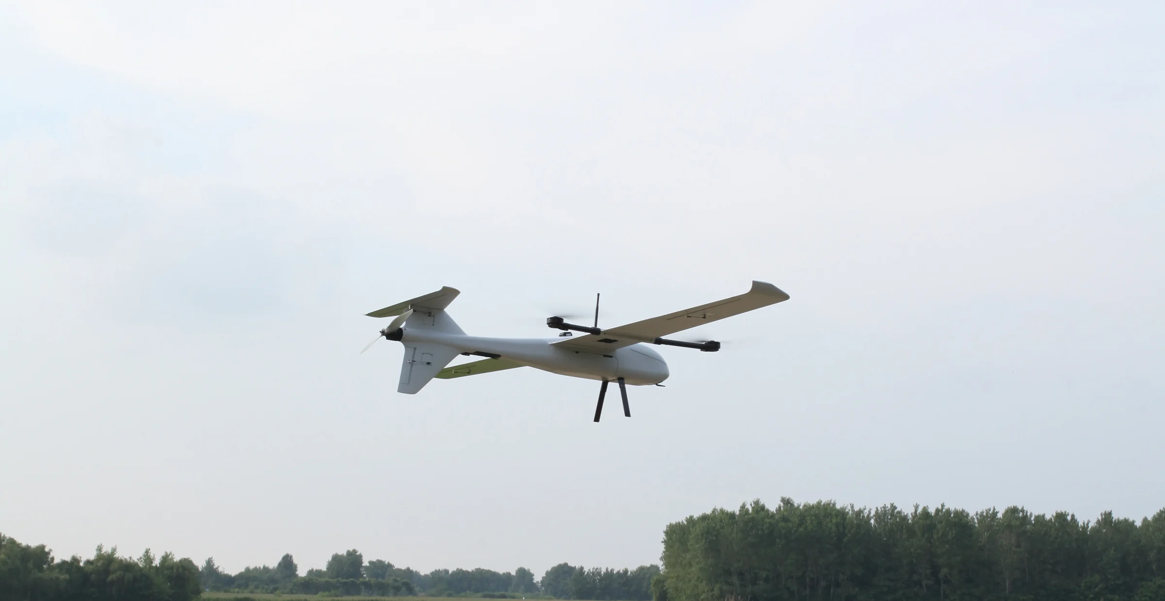
SURVEYING & MAPPING UAV SOLUTIONS
Configure a VTOL mapping platform around the sensor, positioning workflow, terrain, launch site and deliverables—not a headline endurance figure alone.
01 / MISSION DEFINITION
A useful aircraft recommendation starts with the result your team must deliver. Share the target area or corridor, ground conditions, sensor, positioning method, operating height and processing workflow before comparing platforms.
Orthophoto, terrain model, point cloud, inspection imagery or multispectral output each creates a different payload and flight-planning requirement.
Define terrain, elevation, takeoff and landing space, corridor length, environmental limits and any local operating constraints.
Confirm sensor mass, power and interfaces, RTK or PPK needs, data link, ground control, batteries, spares and processing handoff.
02 / PLATFORM SHORTLIST
The figures below are published maximums for initial screening. Payload, endurance and environmental performance are not assumed to occur simultaneously; the supported mission configuration must be confirmed in writing.
3 kg published maximum payload, up to 240 minutes maximum endurance and RTK / PPK positioning.
Review JT-245 specifications ↗5 kg published maximum payload, up to 300 minutes maximum endurance and 15 / 30 / 50 km data-link options.
Review JT-290 specifications ↗7.5 kg published maximum payload, up to 220 minutes maximum endurance and RTK / PPK positioning.
Review JT-380 specifications ↗A foldable tilt-rotor platform with an underslung five-lens mapping camera option, automatic charging dock and cloud API support.
Review FW-VTOL20 specifications ↗03 / PAYLOAD & WORKFLOW
TJW can review project-specific payload integration, but compatibility is not implied by payload mass alone. Mechanical fit, center of gravity, power, control, data handling and calibration requirements must be assessed together.
Provide the camera model, lens, trigger method, positioning workflow and required image output.
Provide sensor, GNSS/IMU, mass, power, interface, mounting and point-cloud workflow requirements.
Define bands or thermal output, calibration method, mission timing and processing workflow.
Confirm RTK, PPK or control-point workflow, base-station assumptions and required project deliverables.
State the preferred link option, terrain, local radio requirements and ground-control arrangement.
List batteries, chargers, spares, operator training, documentation and after-sales scope.
04 / RFQ CHECKLIST
Preliminary information is acceptable. Unknown items can remain open, but separating confirmed requirements from assumptions makes the first review faster and more useful.
Country, end user, intended application, target area or corridor and operating environment.
Orthophoto, terrain model, point cloud, inspection imagery, vegetation data or another defined output.
Model, mass, dimensions, power, data interfaces, mounting and any existing processing software.
Altitude, terrain, weather constraints, launch area, flight frequency and expected daily workflow.
Quantity, OEM branding, training, spares, documentation, support and target purchase timeline.
Important: this page supports initial platform screening. Survey accuracy, coverage, endurance with payload, regulatory eligibility and final integration are project-specific and are confirmed only after technical review.
05 / BUYER QUESTIONS
Start with the payload model and mass, required data deliverable, positioning workflow, launch and landing area, terrain, operating altitude and environmental conditions. TJW confirms the supported aircraft and payload configuration during project review.
Not necessarily. Published maximum payload and endurance values may represent separate conditions. Request a mission-specific estimate using the proposed sensor, altitude, weather and flight profile.
Integration is reviewed for each project. Provide the sensor model, mass, dimensions, power demand, data interfaces, mounting requirements and expected output so compatibility can be assessed.
REQUEST A MAPPING CONFIGURATION
TJW will review the mission boundary before confirming the aircraft, payload integration and commercial scope.